Calgary sits on a mix of glacial till, alluvial terraces, and bedrock from the Paskapoo Formation, which means the seismic response changes block by block. We have measured VS30 values ranging from 280 m/s in the river valleys near the Bow River to over 600 m/s in the northwest hills. Before any structural design, we run a seismic microzonation study to map the local amplification patterns. Combining MASW arrays with microtremor HVSR gives us the fundamental frequency of each site. That data feeds directly into the NBCC site class assignment — critical for buildings taller than four stories.
VS30 values in Calgary vary from 280 m/s in river valleys to over 600 m/s in the northwest hills — a full site class difference.
Methodology and scope
The difference between a site in downtown Calgary and a site in the deep till of Signal Hill can be a full site class shift. In the downtown corridor, where the Bow Valley fill sits over shale, we consistently see Site Class D — soft soil. Move up to the Paskapoo sandstone outcrops near Nose Hill and you hit Site Class B. Our microzonation process layers field geophysics, borehole logs, and laboratory testing. We perform MASW profiles to measure shear-wave velocity every 50 m along a grid, then correlate with SPT blow counts from adjacent ensayo SPT holes. The result is a contour map of VS30 and spectral accelerations at 0.2 s and 1.0 s periods. For critical infrastructure like the new Green Line LRT stations, this level of detail is not optional — it is required by the Alberta Building Code.
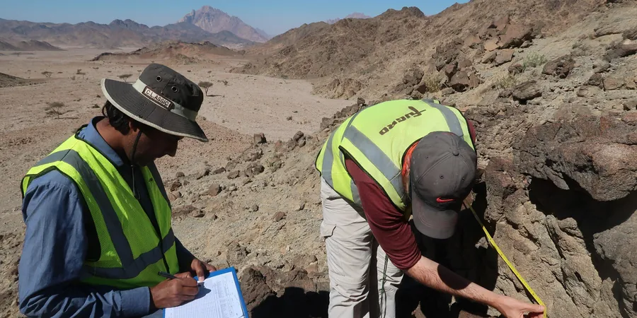
Technical reference image — Calgary
Local considerations
NBCC 2020 requires site-specific seismic hazard analysis for structures in Site Class F or for buildings exceeding 60 m in height. Calgary has documented cases of liquefaction-susceptible sands in the Bow River floodplain, particularly near East Village. A generic soil map will miss these pockets. Seismic microzonation identifies the lenses of loose sand and soft clay that can amplify shaking by a factor of 1.3 or more. Without this study, the design spectrum may be unconservative by a full site class. That means joints, foundations, and shear walls are undersized for the actual demand.
Multi-channel Analysis of Surface Waves to measure VS30 profiles down to 30 m depth. We deploy 24-geophone arrays with a 2 m spacing for resolution of 1 m layers. Results are correlated with borehole logs for site class confirmation.
02
HVSR Microtremor Measurements
Horizontal-to-Vertical Spectral Ratio recording at 15-minute intervals per station. We measure the fundamental resonance frequency of the soil column. This data identifies soft sediment basins and thickness variations across the city.
03
Site-Specific Response Spectra
We develop acceleration response spectra at 5% damping using the measured VS30 and PGA values. The spectra are scaled to the NBCC 2020 uniform hazard spectrum. Output includes elastic design spectra for 0.2 s, 0.5 s, 1.0 s, and 2.0 s periods.
04
Liquefaction Hazard Mapping
Based on SPT blow counts and fines content from nearby boreholes, we produce a liquefaction potential index (LPI) map. The analysis follows the NCEER 2001 method with a magnitude 6.5 reference earthquake. Results are plotted on a 50 m grid for the project area.
Applicable standards
NBCC 2020 – National Building Code of Canada, Division B, Part 4, ASCE/SEI 7-22 – Minimum Design Loads and Associated Criteria for Buildings, ASTM D4428/D4428M – Standard Test Methods for Crosshole Seismic Testing, NEHRP Recommended Provisions (FEMA P-1050) – Site Classification
Frequently asked questions
How does seismic microzonation differ from a standard geotechnical report?
A standard geotechnical report gives bearing capacity and settlement. Seismic microzonation focuses on ground motion amplification. It produces VS30 profiles, site class, and spectral accelerations. In Calgary, where soil conditions vary from till to alluvium within a few blocks, a generic site class from a map is not enough. Microzonation gives you the actual amplification factors for your specific lot.
What is the typical cost range for a seismic microzonation study in Calgary?
For a typical residential or low-rise commercial site, the study ranges between CA$5,600 and CA$9,200. For large infrastructure projects with multiple MASW lines and HVSR stations, the cost can go up to CA$19,940. The final price depends on the number of measurement points and the depth of profiling required. We provide a fixed-price quote after a site visit.
What NBCC site classes are most common in Calgary?
Site Class C (very dense soil and soft rock) is the most common, covering most of the residential areas on glacial till. Site Class D (stiff soil) appears in the river valleys and along the Bow River corridor. Site Class B (rock) is found on the Paskapoo sandstone outcrops near Nose Hill and in the northwest. We have also encountered Site Class F (liquefiable soil) in the East Village area, which requires a site-specific hazard analysis per NBCC 2020.
How long does a seismic microzonation study take?
Fieldwork typically takes 2 to 5 days depending on the number of MASW lines and HVSR stations. Laboratory analysis and report writing add another 7 to 10 business days. For urgent projects, we can expedite the field data and provide preliminary site class within 3 days. The final report includes VS30 contours, response spectra, and liquefaction hazard maps.